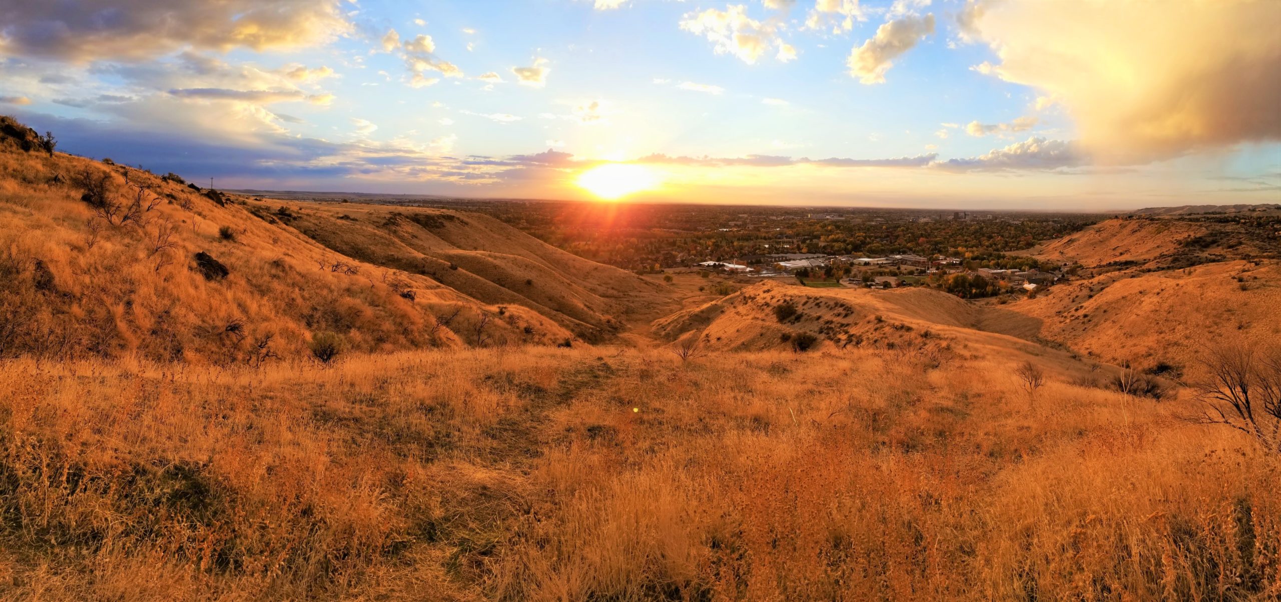
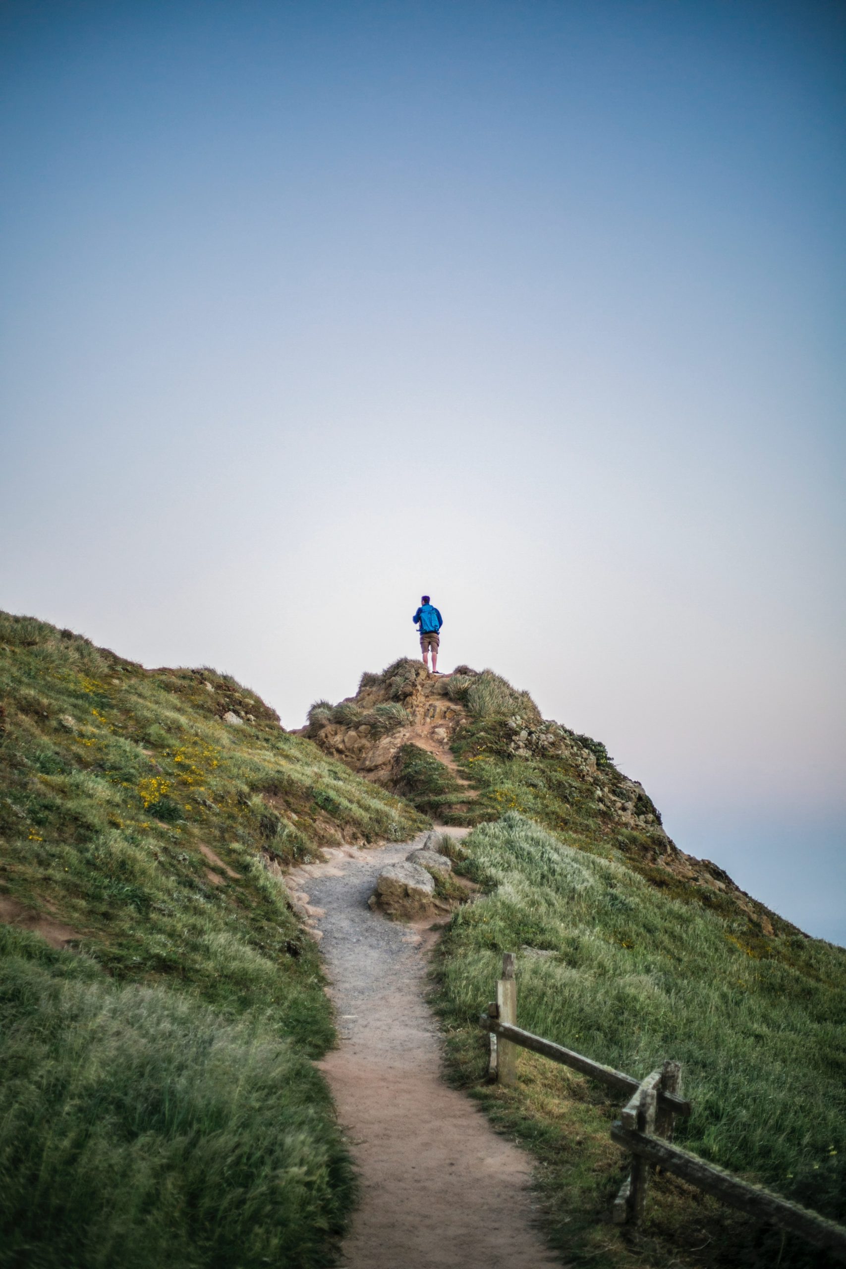
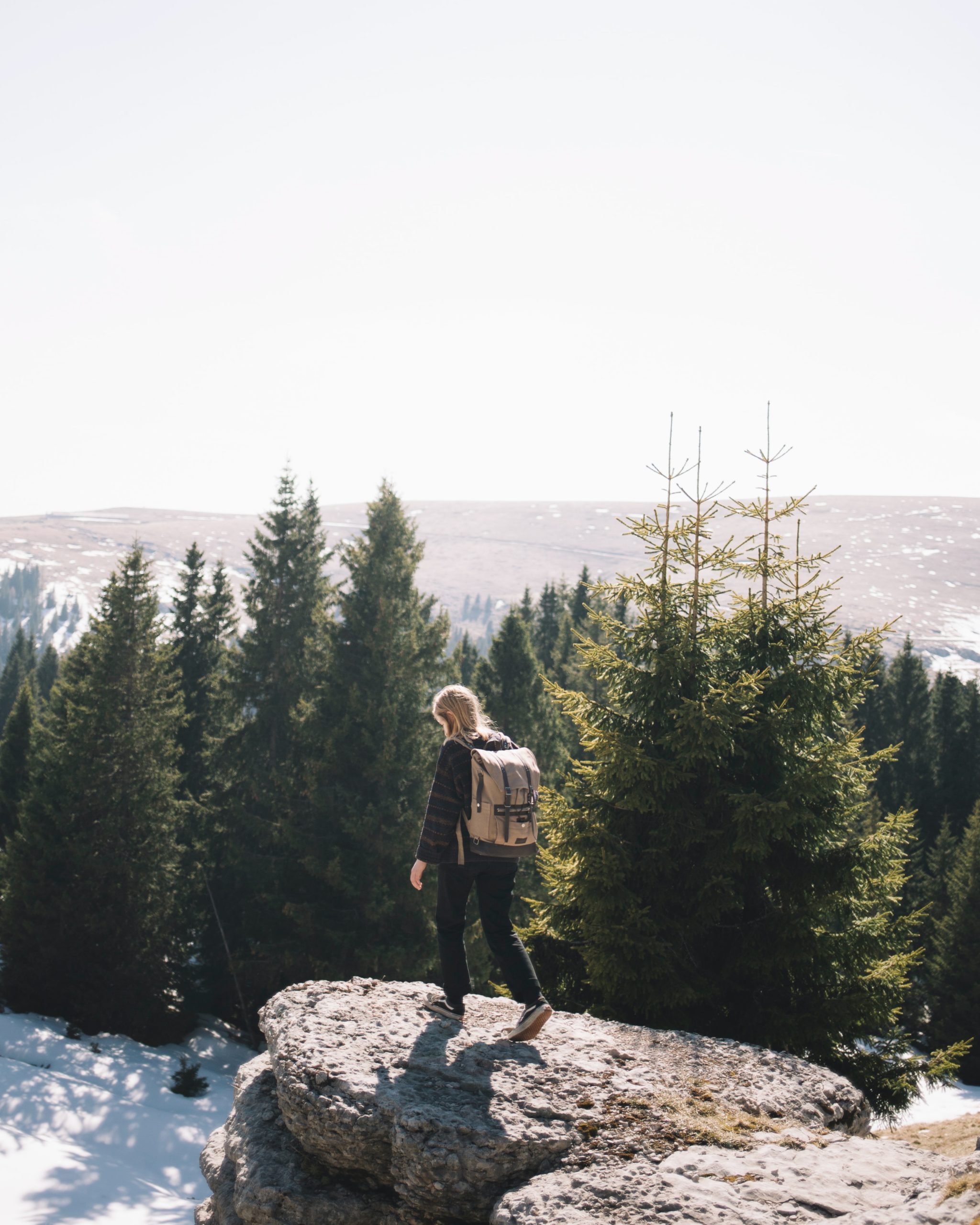
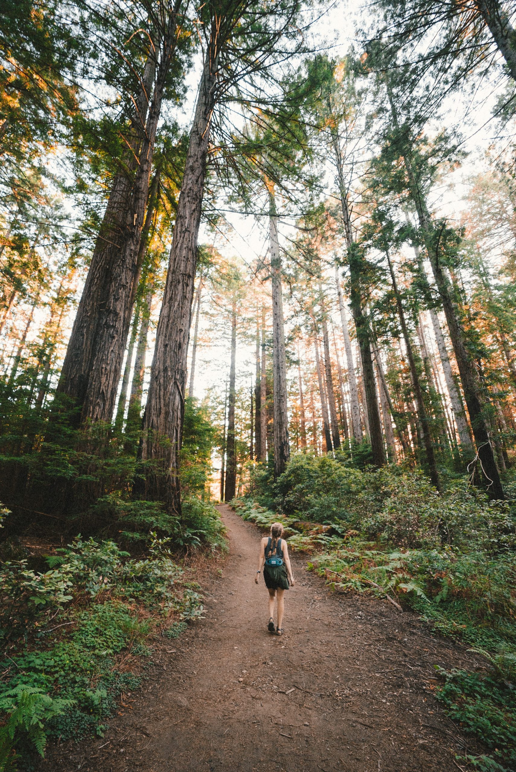
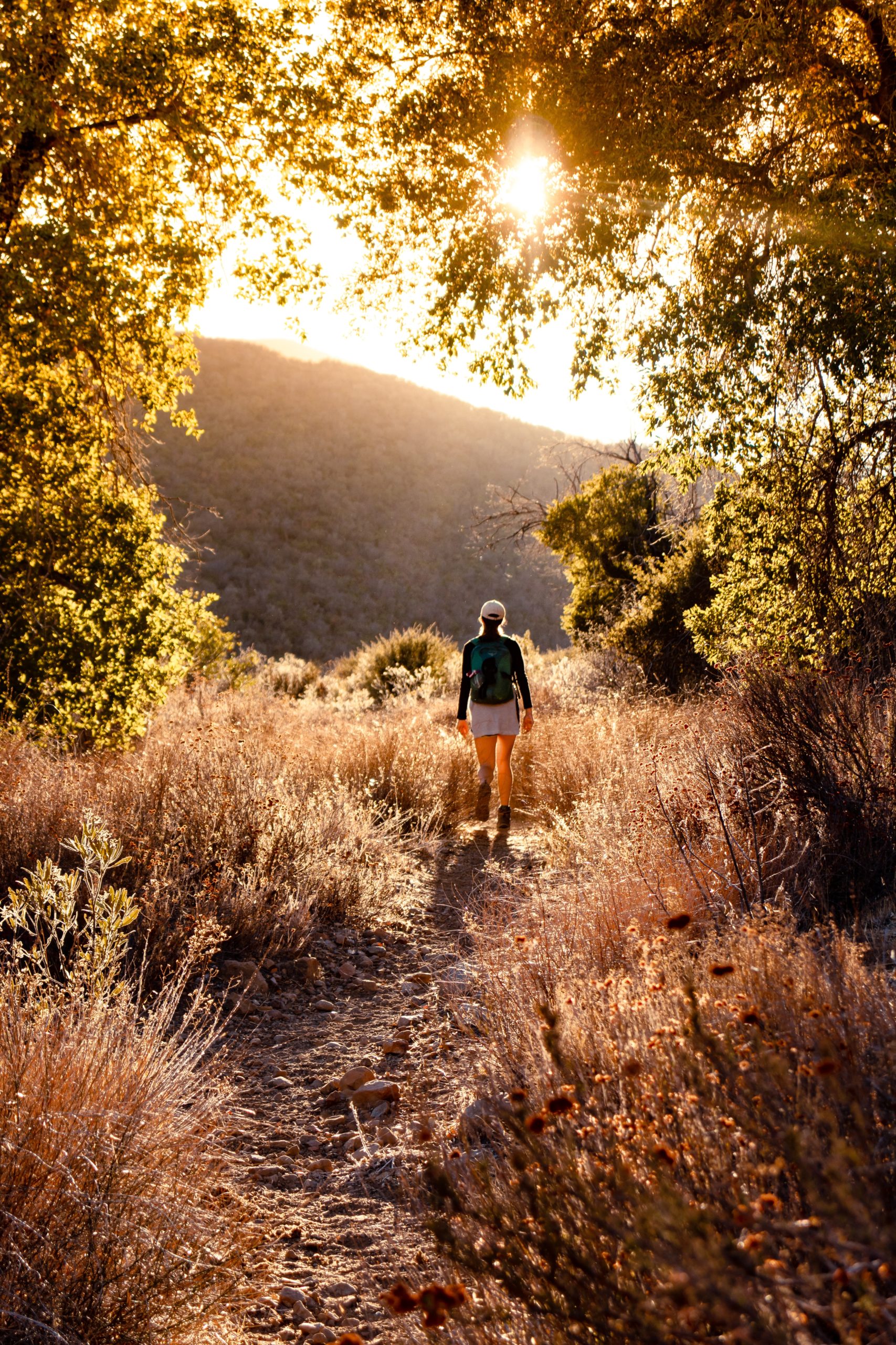
Soak up the warm weather and take a beautiful hike up to Table Rock during sunset or for an early morning hike! Enjoy a 3.7 mile hike up Table Rock featuring beautiful wildflowers and stunning views of the Boise skyline! Utilize another of the multitude of foothills trails from the same access point for hiking or biking! Hiking is best from March-November. Dogs must stay on a leash on Table Rock Trails. Parking available near the Old Idaho Penitentiary. Please do not hike/bike on muddy trails.
View More Details
Explore Idaho's beauty with a 1.9 mile hike up Eagle Rock! Generally considered an easy route, the Eagle Rock Loop Trail takes an average of 1 hour to complete. This trail is commonly used for hiking, horseback riding, and mountain biking. Hiking/biking is best from April through October. Dogs are welcome and may be off-leash in some areas. Please do not hike/bike on muddy trails.
View More Details
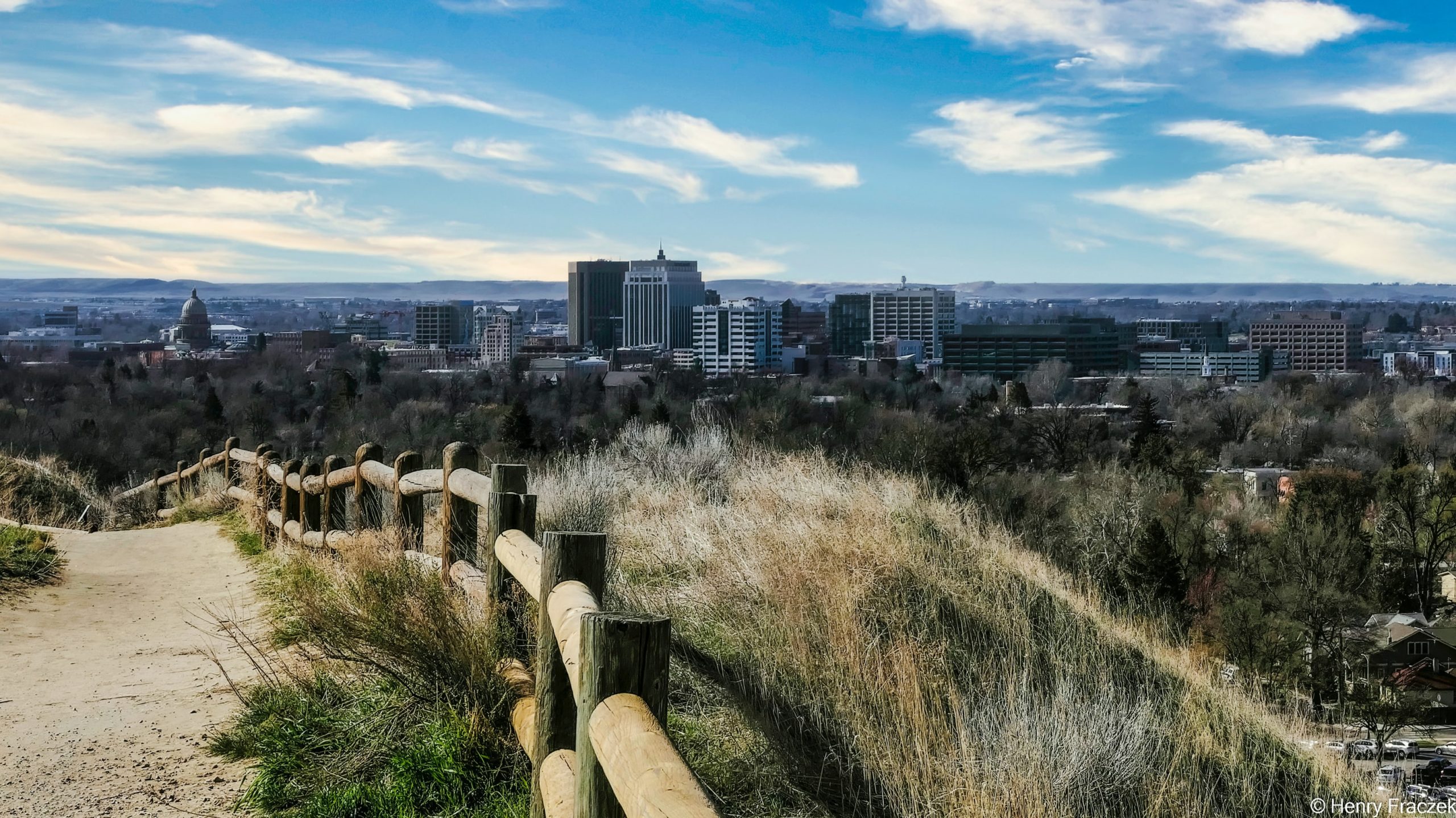
Boise's true classic! Hulls Gulch Reserve is a 292-acre trail at the base of the foothills, just north of downtown Boise. Hulls Gulch is a great place to learn about the unique natural history of the Boise Foothills while offering picturesque views of downtown Boise. To help maintain the qualities of this trail, it is used strictly for pedestrians only. Bicyclists and equestrians have the opportunity to enjoy other trail opportunities in the Ridge to Rivers Trail System. The trail can be accessed from the 8th Street Trailhead.
View More Details
Reconnect with the natural world outside the hustle and bustle of downtown Boise with the perfect hike for anyone looking for a breathtaking view! Hiking only and dogs must be on leash. Trail access at bottom of Camelsback Park.
View More Details
This high quality hiking/biking trail offers lots of flow and breathtaking views! The trail flows well across its entire length besides a steep climb in the beginning and end of the ride. Dog friendly.
View More Details
A trail that will certainly keep you on your toes! This rocky and technical trail is not too steep or too flat, however bikers typically prefer riding this trail downhill. Access the top of the trail from Corral's Trail.
View More Details
A steady 5 mile trail with 2,000+ feet of climbing, Hard Guy is no joke! After each steep climb is a plateau to catch your breath. This trail is dog friendly, but better suited for experienced hikers, bikers, and runners.
View More Details
This trail starts out mostly flat with a few short uphill stretches. After crossing Rock Garden Trail, Rock Island becomes steeper. If you are looking for a real challenge, watch out for the extended rock stretches or the drops that are fun to hit at just the right speed!
View More Details
Tram trail has so much history as old Idaho Penitentiary inmates carved this trail out to bring Sandstone rock down from Tablerock to use in the construction of famous buildings around Boise! Best ridden downhill, the upper portion of this trail is a fun, rocky & steep ride including technical sections perfect for keeping your skills sharp!
View More Details
A rewarding downhill ride or brutal uphill climb! This trail is considered one of the best sections of singletrack in the Lucky Peak area. This trail has a nice flow with some technical rocky sections and a sharp uphill climb that begins at the bottom of the steepest part of the trail!
View More Details
Take a short hike to the top of Knob Hill to see some of the best views in town. Just a few blocks from the downtown core, sit and relax on the park benches or have lunch at a picnic table. The trail is wheelchair accessible.
View More Details
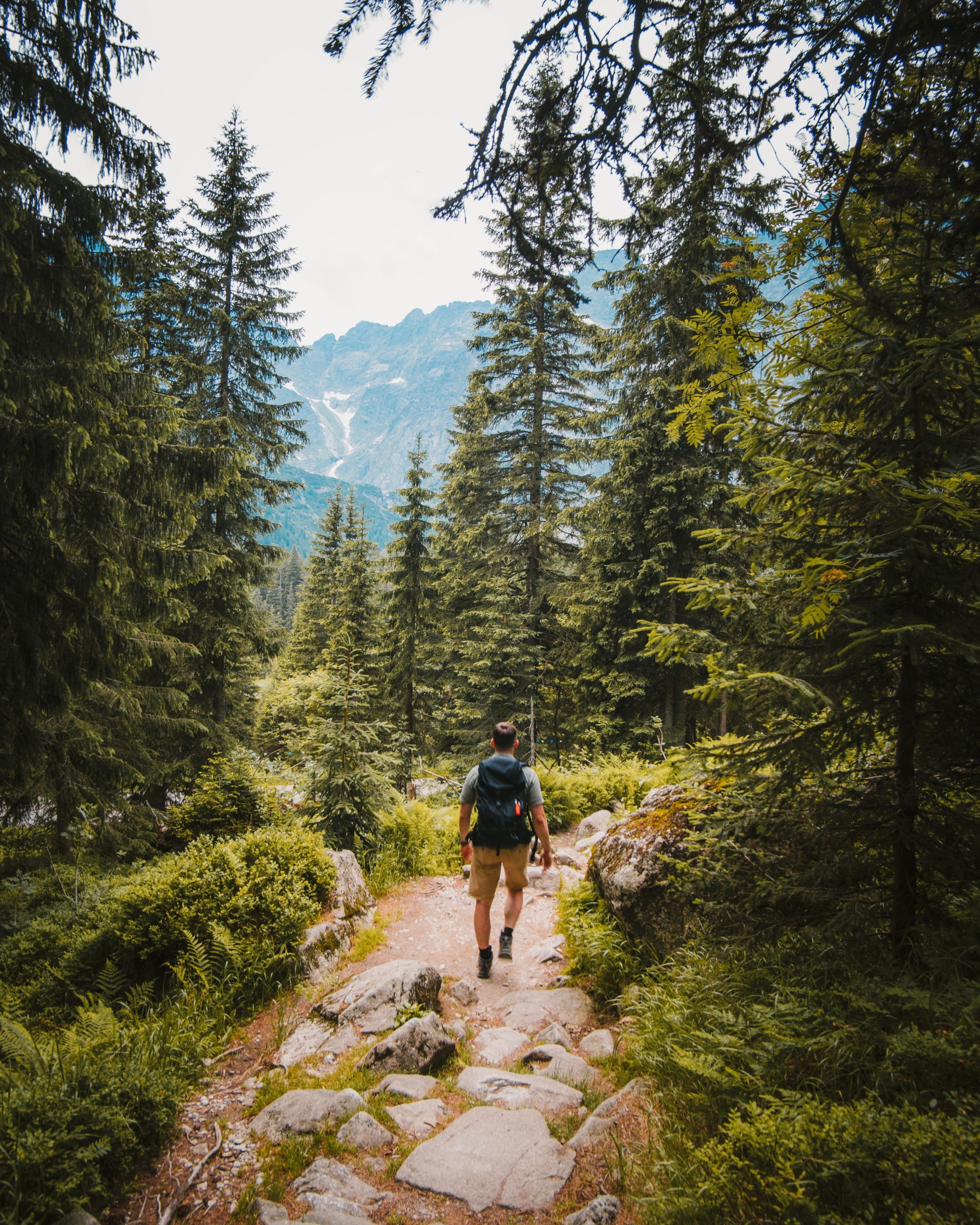
With over 400 miles of single-track ready to be explored throughout Sun Valley, mountain biking here is some of the best and most scenic in the country. Bald Mountain boasts America's longest purpose-built downhill trail and over 3,100 vertical feet of thrilling trails accessible by taking the chair lift to the top of the mountain. For a milder, family-friendly experience, guests may choose to explore the White Clouds trail network or meander through town along the leafy Wood River Trail, with over 30 paved miles to explore. First-time mountain biking? Check out our First Timer's Guide. While you can hike or bike up Bald Mountain from multiple points, the only lift-served access is located at River Run Plaza (tickets available at the River Run Ticket Office). Load your bike on the state-of-the-art gondola, traveling 2,000 vertical feet in eight minutes. You can load your bike on the Christmas quad chairlift all the way to the top, or take a few laps on the lower half of the mountain.
View More Details
One thing you’ll never run out of in Sun Valley is options! With nearly 400 miles of single-track and 30 miles of paved, car-free trails ranging from fast and smooth to technical and challenging or just plain striking, there are trails for whatever challenge you’re seeking!
View More Details
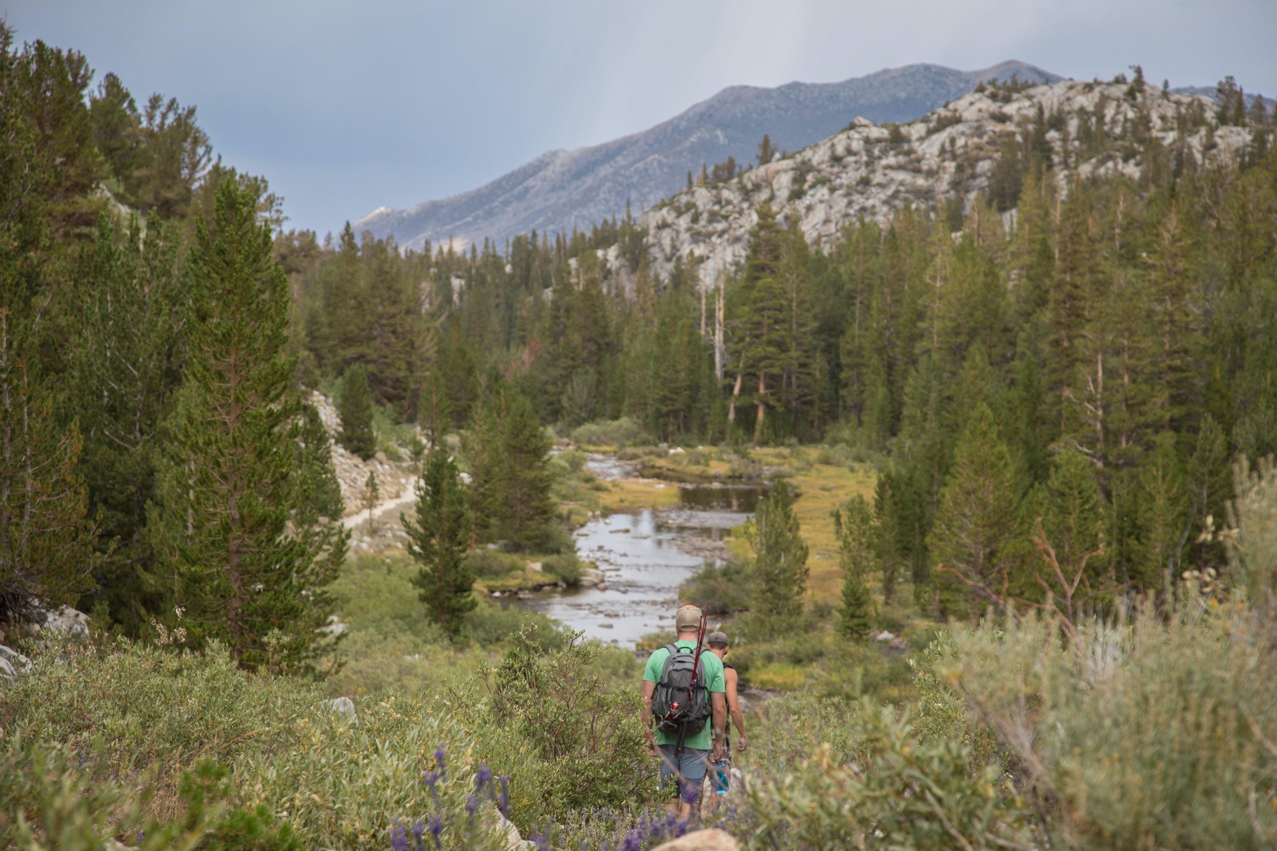
North Fork of the Big Wood River Trail is an 8 miles hike that involves minimal elevation gain. The views here include forests, rugged mountains, and meadows. This is a long day hike or can be a short backpacking trip.
Trailhead: From Ketchum, drive north on Highway 75 for 8 miles until you reach the main building of the Sawtooth National Recreation Area. Take a right on North Fork Road and continue past the parking area for 5 miles. The road ends in a parking area by the river. Begin your hike here.
Length: 8 miles
Elevation Gain: Minimal
Trail Type: Out-and-back
Skill Level: Easy to the bend in the canyon (two miles). Moderate above the bend due to an increasingly faint trail and steeper grade; strenuous from the head of the canyon to Ibex Pass due to elevation gain
Duration: Either a day hike or overnight
View More Details
The Idaho Centennial Trail extends over 1,200 miles from the Nevada border north to the border of Canada. Visitors of this trail can find themselves surrounded by old growth cedar trees, pristine glacial lakes, rocky, rugged peaks, lush green forests, granite spires reaching to the sky, fast flowing rivers, meandering streams and open meadows. Idaho Centennial Trail is designated so that any type of user can enjoy the finest Idaho experience! Depending on what section of the Trail you are using, you can find yourself on single-track trails, dirt roads, or jeep trails.
Trailhead: To get to the Idaho Centennial Trail in the area of Sun Valley, it is best to check with the Sawtooth national Recreation Area to determine which trails in the area join the ICT. Most people start at the southern trailhead near Murphy Hot Springs on the Idaho-Nevada border in early June, and travel north across the desert before it gets too hot. Then, they proceed toward the Sawtooth Mountains in mid-July, when most of the snow has melted from the high country. Then it’s a race against time to reach the Idaho-British Columbia border by late September or early October. The trail winds for hundreds of miles through some of the most remote country Idaho has to offer. Lonely sagebrush plains, imposing mountain ranges, stark river canyons, and rain soaked forests .
Distance: The total distance of the Idaho Centennial Trail is 1200 miles. The section that runs through the area closest to Sun Valley is roughly 300 miles long.
Average Time of Hike: The time to complete any portion of the Idaho Centennial Trail is dependent on what portion or portions of the hike you are completing.
Elevation Gain: The elevation gain, too, changes dependent on the area where you are hiking.
Difficulty: Some areas of the Trail can be quite difficult while other sections are easier to do.
Trail Type: One way
View More Details
It’s a fairly easy hike to the lake. The trail is obvious all the way as it climbs, quite steeply, through flower-filled meadows to the lake.
Trailhead: Drive 15 miles north of Ketchum to Baker Lake road, turn left and drive an additional 9.5 miles on the improved road to the trail head.
Length: 2.5 total miles
Elevation Gain: 916 feet
Trail Type: Out-and-back
Skill Level: Moderately easy
Duration: Day hike
Season: Best July through September
View More Details
A hike to a large waterfall, good views, and many elk located on the lesser known east side of the Boulder Mountains.
Trailhead: From Ketchum, drive to the top of Trail Creek Summit and then 8 miles beyond that to Summit Creek. Turn off the main road onto Forest Road 444. Turn again at Forest Road 477 and continue on to the trailhead.
Length: 19 total miles
Elevation Gain: Minimal
Trail Type: Out-and-back
Skill Level: Moderate for the out-and-back; strenuous for the near loop into Herd Creek and back to the North Fork of the Big Lost River
Duration: Multiday backpack
Season: Best in July
View More Details
A relatively easy day hike to the edge or a two to three day rugged trip to the seldom-visited head of Fall Creek Canyon.
Trailhead: Take Highway 75 to Sun Valley Road. Turn northeast onto the Sun Valley Road. This road turns into Trail Creek Road (Trail Creek Road is closed in winter). Follow this road to the Copper Basin Road. Turn right on the Copper Basin Road. Follow this road 2 miles to the Wildhorse Creek Road. Stay to the right on the Wildhorse Creek Road. Follow the Wildhorse Creek Road 3.5 miles to the Fall Creek Road. Turn left on the Fall Creek Road and follow it 1.5 miles to the trailhead.
Length: 8 total miles
Elevation Gain: Minimal
Trail Type: Out-and-back
Skill Level: Moderately easy to the Left Fork; difficult to the head of Fall Creek
Duration: Either a day hike or overnight
Season: Best mid-June to mid-July to Left Fork; August to mid-September to head of canyon.
View More Details
Provides great views of the Pioneer Mountains, the Boulder Mountains, and Trail Creek Gorge.
Trailhead: From Ketchum, drive to the top of Trail Creek Summit and on to Park Creek Road. Turn left onto Park Creek Road to the Cold Canyon Road. The trailhead is located near the entrance to Cold Canyon.
Length: 6.4 total miles
Elevation Gain: Minimal
Trail Type: Out-and-back
Skill Level: Moderately strenuous because of the climb
Duration: Day hike
Season: Best early July to Rock Roll Point. The trail to Basin Gulch is accessible as soon as you can ford Trail Creek. Late September is the end of the season.
View More Details
You’ll be surrounded by wildflowers early in the year with tremendous views at all times of the year!
Trailhead: Turn east onto the East Fork Wood River Road from Highway 75. The turnoff is about 5.5 miles south of the town of Ketchum. Reset your odometer. You will reach the small village of Triumph at 5.8 miles, just keep heading east on the road. Shortly after Triumph the road becomes dirt. Continue east on the road when you see the turn-off for the Hyndman Creek trailhead at 7.2 miles. Take a left onto Forest Service road 203 at the fork. Follow 203 until it meets up with the confluence of the North Fork Hyndman Creek and Hyndman Creek and the trailhead.
Length: 8 total miles
Elevation Gain: 2,560 feet
Trail Type: Out-and-back
Skill Level: Moderately easy to the base of Cobb Peak. The last 2 miles to the base of Hyndman Peak are strenuous.
Duration: Long day hike or overnight
Season: Best July to mid-September
View More Details
The Wood River Trail System is a 30 mile network of paved trails that connect all the communities of the Wood River Valley – Bellevue, Ketchum, Sun Valley, and Elkhorn. The historic points of interest marked along the Wood River Trail System route focus on the history of the railroad in the Wood River Valley.
You can walk, horseback ride, bike, cross-country ski, and in - line skate or use a wheelchair on the path- so many possibilities!
Wood River Trail System:
Distance: The distance from Bellevue through Hailey and on to Ketchum is 20 miles. The distance from Ketchum to Sun Valley is 10 miles.
Average Time of Hike: Time to cover the distance is dependent on your mode of travel. You can walk, horseback ride, bike, cross-country ski, and in - line skate or use a wheelchair on the path. The Trail System is groomed during the winter months to accommodate cross-country skiers.
Elevation Gain: As you head north along the Trail there is a minimal increase in elevation. Of more concern is the wind factor. Suggest you check wind direction and velocity before you bike here – the nature of the valley channels the wind the same direction as the trail. Local weather effects tend to give the area a northerly wind at night and in the morning and a southerly wind in the afternoon and evening.
Difficulty: Easy. Great paved path without much shade
View More Details
The scenery at Alpine Creek Trail is exquisite, although there are no lakes by the trailside. The trail is 3 miles long and not very steep, climbing only 500 feet, but it takes you a good distance into the jagged Sawtooth Mountains.
Trailhead: After traveling past Alturas Lake, the paved road will end and turn into a narrow dirt road. This leads to the Alpine Creek Trailhead which consists of your typical dirt parking area and Forest Service provided parking.
Length: 6 total miles
Elevation Gain: 560 feet
Trail Type: Out-and-back
Skill Level: Moderately easy
Duration: Day hike
Season: Best July through September
View More Details
It’s a fairly easy hike to the lake on Baker Lake Trail. The trail is obvious all the way as it climbs, quite steeply, through flower-filled meadows to the lake.
Trailhead: Drive 15 miles north of Ketchum to Baker Lake road, turn left and drive an additional 9.5 miles on the improved road to the trail head.
Length: 2.5 total miles
Elevation Gain: 916 feet
Trail Type: Out-and-back
Skill Level: Moderately easy
Duration: Day hike
Season: Best July through September
View More Details
The hike to the summit ridge of Blue Bunch Mountain gives a splendid view of the Dagger Falls portion of the great Middle Fork Canyon; the expansive Poker, Bruce, and Ayers Meadows and meandering Bear Valley Creek to the west; the rugged mountains of the Soldier-Langer Lakes area to the east; and Cape Horn Mountain to the south- a picturesque experience!
Trailhead: From Idaho Highway 21, turn onto a well-marked road a few miles east of Banner Summit which climbs to Cape Horn. Follow this road for 12 miles to the side road to Fir Creek Campground. Stay to the left on the road until you reach the Bear Valley Campground, where you will find the trailhead.
Length: 8 total miles
Elevation Gain: 2,383 feet
Trail Type: Out-and-back
Skill Level: Moderate
Duration: Either a day hike or overnight
Season: Best mid-July through August
View More Details
Boulder Chain lakes hike has deep, cool forests, mountain springs, lakes to fish or swim, & incredible mountains to climb!
Trailhead: From Stanley, Idaho, drive north on Highway 75 to the road leading up the East Fork of Salmon River. Shortly after leaving the pavement turn right on the road to Livingston Mill, which is an operating mine. The trailhead is 35 miles from Challis.
Length: 20 total miles
Elevation Gain: Minimal
Trail Type: Out-and-back
Skill Level: Moderately difficult
Duration: Backpack
Season: Best mid-July through August
View More Details
Boundary Creek is a steep trail, which quickly climbs to fine views of the Mount Heyburn area of the Sawtooth Range just across the valley.
Trailhead: The Boundary Creek trailhead is 5.5 miles south of Stanley, across the road from the Sawtooth fish hatchery.
Length: 11 total miles
Elevation Gain: Minimal
Trail Type: Out-and-back
Skill Level: Difficult
Duration: Day hike
Season: Best July through September
View More Details
The hiking distance to the two lakes provides gorgeous scenic opportunities with ease.
Trailhead: From Mackay, go 14 miles southeast on US 93, then 23 miles southwest on Antelope Creek Road, Forest Road 135 and FR 137.
Length: 5 total miles
Elevation Gain: 1,467 feet
Trail Type: Out-and-back
Skill Level: Moderately easy
Duration: Either a day hike or overnight
Season: Best July
View More Details
This magnificent loop provides a sampling of the best that these peaks have to offer!
Trailhead: From Challis, go 18 miles southwest on US 93 and ID 75, then 18 miles south on East Fork Road (Forest Road 120).
Length: 28 total miles
Elevation Gain: 5,900 feet
Trail Type: Loop
Skill Level: Moderate to difficult backpacking
Duration: 3 - 5 days
Season: Usually open mid-July to October; best late July to September
View More Details